
Monrovia Neighbors by Record Layer
A block-level neighbor lookup starts with a parcel, not a name list. The Los Angeles County parcel viewer can reveal lots that touch or face a target parcel. The Assessor can add an AIN, situs, assessed-owner and building record. City permits, historical directories, aggregate voter reports, and community programs answer different questions, so each source belongs in its own column of the research trail.
| Source | What It Shows About a Block | Access |
|---|---|---|
| LA County Parcel Viewer | Touching or opposite parcels, AINs, situs labels, and map references | Free interactive GIS browsing |
| LA County Assessor | Parcel use, assessed ownership, mailing clues, building and value facts | Free address or AIN search; no public owner-name Internet search |
| RR/CC recorded documents | Recorded transfers, liens, easements, and legal descriptions tied to owners | Norwalk name-and-year index by appointment; mail or in-person copy route after an identifier is known |
| Monrovia permits and OnBase | Work history, applicants, owners, contractors, dates, and project status when present | Permit Book for 1911-1947; later OnBase, CPRA, Clerk, phone, or counter channels |
| Voter status and reports | One known registration check or aggregate precinct and city totals, not a public block list | Four-key self-check; authorized file routes and county reports |
| MAP and local history | Community programming, historic context, past households, and public contacts | Program or library access; no comprehensive public member roster located |
The table separates owners from occupants. An assessment record is evidence of an assessed parcel relationship. A deed is evidence of a recorded transfer. Neither one lists every person who sleeps at the address. A permit names people connected to a project, not a continuous household. Historical directories can name past occupants, while a community group may provide a way to meet people without publishing members.
No verified public radius list was found for Monrovia. The practical block method is to repeat a parcel check for each touching or opposite lot, then stop when the source no longer supports the claim.
Note: An adjoining AIN can identify the next parcel in a block, but it cannot identify every current occupant of that parcel.
Mapping Monrovia Neighbors by AIN
The Los Angeles County Assessor Parcel Viewer is the most direct way to work outward from one Monrovia address. Start with the address or AIN, then treat the viewer as a set of individual parcel records. The map supports browsing and selection, but the research did not verify a public button that returns everyone within a chosen radius.
- Search the target street address in the parcel viewer or open the known AIN from the Assessor Portal. Confirm the situs before moving outward.
- Zoom and pan until lot lines and nearby street sides are clear. The target parcel is the starting point, not the whole block result.
- Click each parcel that touches the target and each parcel opposite it across the street. Postal ranges do not reliably describe parcel edges.
- Record each AIN and situs label, along with the map-book, page, or parcel reference shown by the viewer.
- Open each parcel detail separately, save the relevant owner and building facts, and repeat the sweep on both sides of the street.
The working flow is address to AIN, AIN to polygon, polygon to adjoining AIN, adjoining AIN to parcel detail. That sequence creates a defensible block inventory without claiming a household list. A mapped outline is useful for orientation, but it is not a surveyed boundary and can change as the viewer is updated.
When the question expands from the immediate block to every address along a named road, use the Monrovia By Street walkthrough. The street-level record chain has a different purpose and should not be inferred from one parcel sweep.
Monrovia Neighbors and Parcel Details
Parcel terms can make a neighbor lookup sound more certain than it is. A short definition box keeps the result tied to the field the county actually displays. The Assessor’s public card can include use type, legal-description shorthand, tax-rate area, land and improvement values, total assessed value, building square footage, units, year built, lot dimensions or area, and map links.
- AIN
- An Assessor Identification Number for one parcel. It is a parcel key, not a household number.
- Situs address
- The physical location assigned to the parcel for assessment and mapping.
- Mailing address
- The destination for tax correspondence. It can differ from the situs and may suggest an owner is elsewhere, but it does not prove occupancy.
- Parcel polygon
- The mapped shape used to select a lot in GIS. It helps show adjacency and is not a survey.
- Assessed owner
- The ownership relationship reflected by the assessment roll. It is not a complete list of people at the property.
Current owner or tax-mailing details can be limited for protected people. A matching mailing and situs address is only a clue. A different mailing address is also only a clue. For title, use the recorded deed and legal description. For household history, use directories, newspapers, and other sources with dates.
Utility accounts, delivery data, DMV personal information, and private household composition do not become public just because a parcel is visible. The neighbor record should stop at the last fact that a custodian or intentionally published community source supports.
Monrovia Voter Checks, Not Neighbor Lists
The Los Angeles County Voter Registration Status form is an identity-gated check. It is designed to verify a person who already knows the required keys, not to browse a Monrovia block by name, ZIP, or street.
| Field | Required | Format |
|---|---|---|
| Last Name | Yes | Alphabetic only |
| Birthdate | Yes | MM/DD/YYYY |
| House Number | Yes | Numbers only; residence address |
| Zip Code | Yes | Numbers only |
| Submit or Search | Action | Verifies a matching registration |
The form can confirm registration status and related election information when all four identifiers are known. It cannot enumerate voters at nearby addresses. California Elections Code Sections 2180-2194 limits voter-registration information to specified electoral, governmental, scholarly, and journalistic purposes and bars commercial use. Social Security numbers, driver-license or state-ID numbers, and signatures are confidential. Ballot choices are never included, and participation history does not reveal how someone voted.
For block context, dated Reports of Registration and city or precinct statistics can show aggregate counts. An authorized requester may apply for a voter-file product through the state or county route, stating a permitted purpose and accepting use and security rules. A stale or inactive registration is weak residence evidence, and a protected address can be lawfully absent.
Note: A four-field voter check confirms one known record; it cannot turn a Monrovia ZIP or parcel sweep into a public neighbor list.
Monrovia Neighbors in Permit Records
City permit history adds a time layer to parcel geography. Monrovia’s About My House route points researchers to zoning, the county Assessor, OnBase, the older Permit Book, and historic-preservation material. The Permit Book covers 1911-1947. The 2026 library guide describes newer permit material from 1948 forward through city records and search or request channels.
Depending on the record, a permit may show an applicant, owner, contractor, address, permit number, issue date, project scope, valuation, inspection entries, or final status. Those fields can explain why a parcel changed shape or use, but they do not prove that a named applicant lived there. A contractor address is an affiliation clue, not a neighbor identity.
OnBase may contain scanned city documents available for public access. If a needed item is absent, use the Monrovia public-record request route or contact the City Clerk’s Office at City Hall, 415 S. Ivy Avenue, Monrovia, CA 91016. The researched city contact is (626) 932-5550, cityclerk@monroviaca.gov, with published hours Monday through Thursday 7:00 a.m. to 6:00 p.m. and Friday 7:00 a.m. to 5:30 p.m.
Community Development can help when a build year is unclear at (626) 932-5565. Building Services is listed at (626) 932-5581 and building@monroviaca.gov. A CPRA request should identify an existing record, address, date range, or series. The agency generally decides within 10 days and may extend that determination by up to 14 days in unusual circumstances.
Community Contacts for Monrovia Neighbors
Community channels can be more useful than a name search when the aim is to learn about a block, find an event, or reconnect through a public program. They should not be described as resident databases when no public roster exists.
| Community Channel | Practical Use | What Remains Private |
|---|---|---|
| Monrovia Area Partnership | Neighborhood programming, engagement, and city-connected community contacts | No comprehensive public HOA or member directory was located |
| Wildrose historic context | Historic district and property research that can add block-level context | Historic designation is not a current resident list |
| Encinitas historic context | Neighborhood history, landmarks, and documented property stories | Context material does not publish every household |
| Heritage Room | Street Address Index, city directories, house files, clippings, and local histories | Appointment and in-library use rules apply; not a current block roster |
| Museum and Legacy Project | Photographs, documents, yearbooks, biographies, and house histories | Catalog coverage and image access vary by item |
| City Clerk and CPRA | Identifiable city records and public-service routing | Only disclosable records are released; private rosters are not created on request |
The researched material did not locate a comprehensive public HOA or neighborhood-association member directory. Congregation, club, and block-watch rosters remain private unless an organization intentionally publishes contact information. MAP is an engagement channel, not a directory of every person living near an address.
Historic Monrovia Neighbors in Context
Block research can change when a place has a long record of subdivision, preservation, or moved structures. Monrovia’s Wildrose and Encinitas materials provide historic-district context, and the city reported 164 designated historic properties as of January 1, 2024. A landmark page can explain a property’s documented story without turning that story into a claim about the current neighbors.
The local record trail is unusually physical. Heritage Room indexes connect street addresses to five local history books, house and home-tour clippings, directories, newspapers, and architectural volumes. The Legacy Project adds digitized photographs, documents, yearbooks, and house histories. These sources are useful when a parcel’s current geometry does not match an older address label.
One researched example shows why the distinction matters: the city documented an 1887 house now at 323 Heliotrope that was moved from Wild Rose and Jasmine. A present-day neighbor sweep follows the current parcel. A historical neighbor question may need the old street names, directory sequence, permit chronology, and legal description. The same block can therefore have a current GIS story and a different historical record story.
Note: Historic context can explain a parcel’s past, but a landmark record never proves who occupies the property today.
Official Records or Neighbor Compilations
A neighbor lookup is strongest when the source and question match. Official local records have narrow fields and clear custodians. Commercial compilation tools may look broader, but breadth does not make a result current or accurate.
Official parcel and Assessor records. These connect an address to an AIN, situs, assessed owner, mailing clue, building facts, and parcel geometry. They do not list all occupants or household members.
Official permits and directories. Permits show projects and named participants. City directories and reverse or criss-cross volumes show historical occupants, spouses, occupations, and addresses when the volume includes them. Neither source proves a current household.
Aggregate voter reports and MAP. Election reports can provide city or precinct totals. MAP can provide community programming and contact pathways. Neither publishes a complete block roster in the researched material.
Commercial compilation category. A commercial service may merge public and other data, lag updates, conflate similar names, or offer an opt-out that does not change the upstream deed, court, assessor, or election record. Treat it as a lead category, never as the controlling source.
Save the source field that supports a conclusion. If an assessed owner, directory occupant, permit applicant, or aggregate report answers a different question than the one asked, say so plainly instead of blending the records.
Privacy Limits for Monrovia Neighbors
Some people are intentionally difficult to locate through public records. California Safe at Home provides an eligible participant with a substitute mailing address and confidential mail-forwarding, and agencies follow program rules for protected voter and public-record addresses. A blank or substitute address should be treated as a lawful privacy result, not a puzzle to defeat.
The California Safe at Home program explains the address-confidentiality route. The image below is a reminder that a protected Monrovia neighbor may not appear at the physical address used in parcel research.
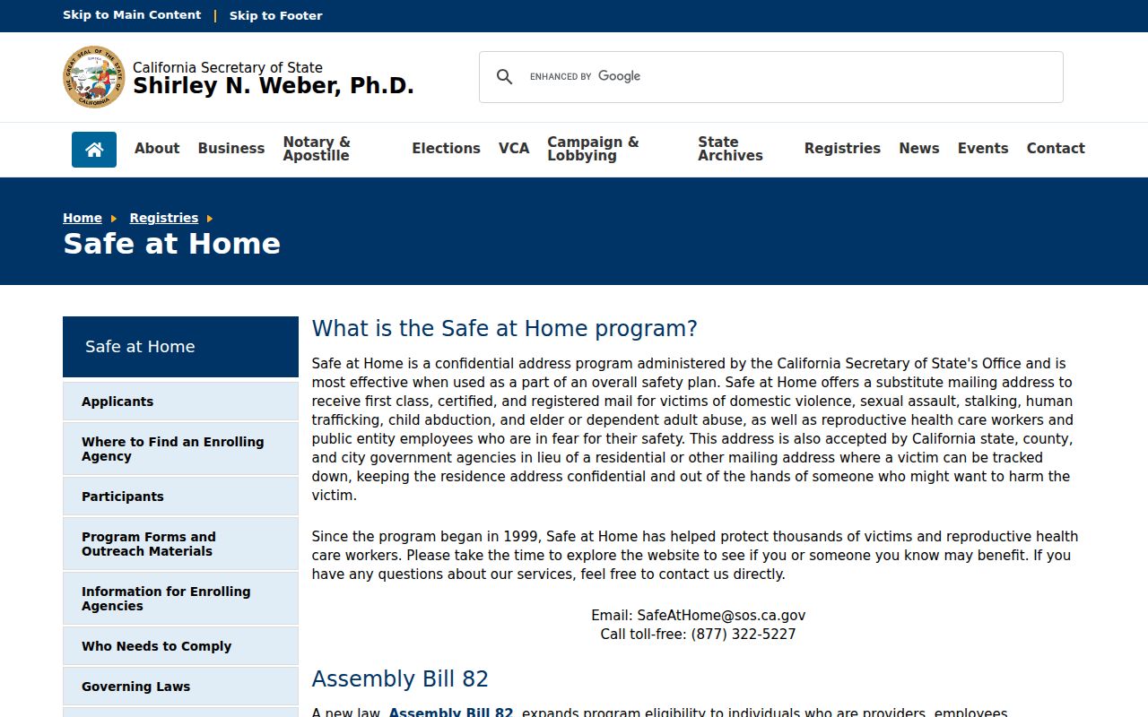
Safe at Home is a confidentiality channel, not an invitation to match records until a hidden location is exposed.
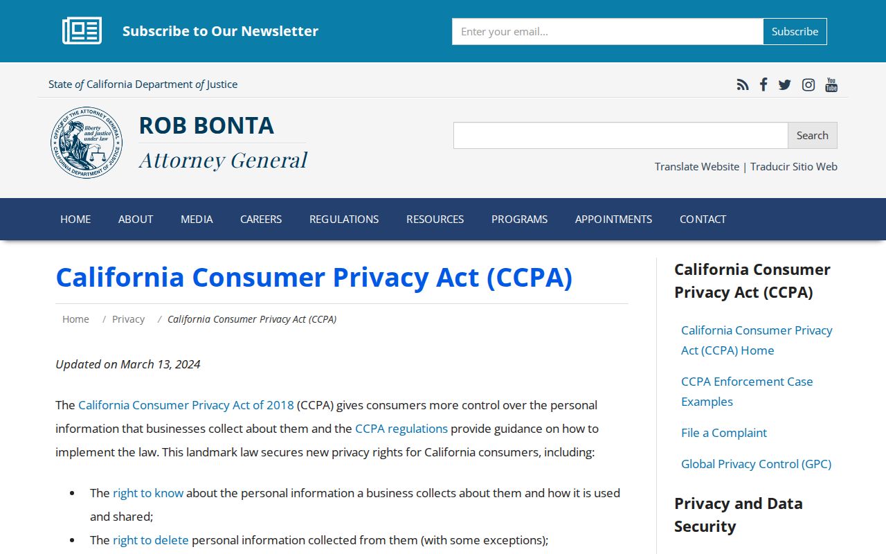
California Consumer Privacy Act and California Privacy Rights Act rights can include knowing, deleting, correcting, opting out of sale or sharing, limiting some sensitive-information uses, and nondiscrimination when a covered business is involved. They do not require wholesale erasure of lawfully retained court, deed, assessment, or election records.
The California Attorney General’s privacy explanation describes those consumer rights. The California Delete Act and DROP regulations provide a single deletion mechanism for personal information held by registered data brokers. The regulations took effect January 1, 2026. DROP does not order the Recorder, court, Assessor, or elections custodian to erase a public record.
DMV personal information is separately restricted by the federal Driver’s Privacy Protection Act, 18 U.S.C. Sections 2721-2725. Utilities and delivery accounts are not public household directories.
Lawful use. Use Monrovia neighbor records for personal safety awareness, family history, reconnecting, and respectful block curiosity. California Penal Code Section 646.9 addresses stalking. Do not use parcel, voter, community, or privacy data to watch, harass, intimidate, or harm anyone.
The most reliable neighbor lookup ends with a modest claim: a parcel is adjacent, an official record says what it says, and private household facts remain private.